Coober Pedy Opal Fields
A LITTLE HISTORY
Early Exploration
The first European explorer to traverse the Coober Pedy region was John McDouall Stuart in July 1858. Travelling north from the Andamooka area, Stuart reached the Stuart Range just north of Shell Patch field.
Discovery of Opal
In February 1915, 14-year-old Willie Hutchinson discovered opal in the Stuart Range while accompanying a group of prospectors searching for gold. His father, James Hutchinson, led the expedition for the New Colorado Prospecting Syndicate, investigating quartz reefs near Lake Phillipson. However, earlier explorations in 1895 were largely unsuccessful due to the region's lack of water.
The expedition consisted of James Hutchinson, P.J. Winch from Melbourne, Mel McKenzie from Port Augusta, and Willie Hutchinson. The discovery was later detailed in an article in The Adelaide Chronicle on April 7, 1938, and the Naracoorte (SA) Herald on May 31, 1938. You can read the story as published in the Adelaide Chronical reproduced from the Sherman Archives here:
A widely quoted excerpt from Jim Hutchinson's article describes how young Willie returned to camp with a bag full of opal and exclaimed:
"Have a look at that, Dad. I think you will find some good stuff there. Well, Dad, old dear, I have found both opal and water, and good water too. I tested it well, and there’s enough for us and the poor old humpies for at least a fortnight."
The Naming of Coober Pedy
Initially known as Stuart Range, the opal field was officially named Coober Pedy at a district council meeting on June 26, 1920. The name is believed to derive from the Aboriginal words "Kupa" (or "Goober") meaning "uninitiated person" or "white man" and "piti" meaning "waterhole" or "hole." This translates roughly to "white man’s hole" or "burrow," referring to the miners working and living underground.
However, historical interpretations vary. Rena Briand, in her book White Man in a Hole, and old-timer Lee Robbins, who attended the naming meeting, both support the "white man’s burrow" explanation. Linguist Peter Naessen also examined the etymology in The Etymology of Coober Pedy, Aboriginal History (Vol. 24, 2010).
The road into Coober Pedy from William Creek, after some rain, so it looks green.
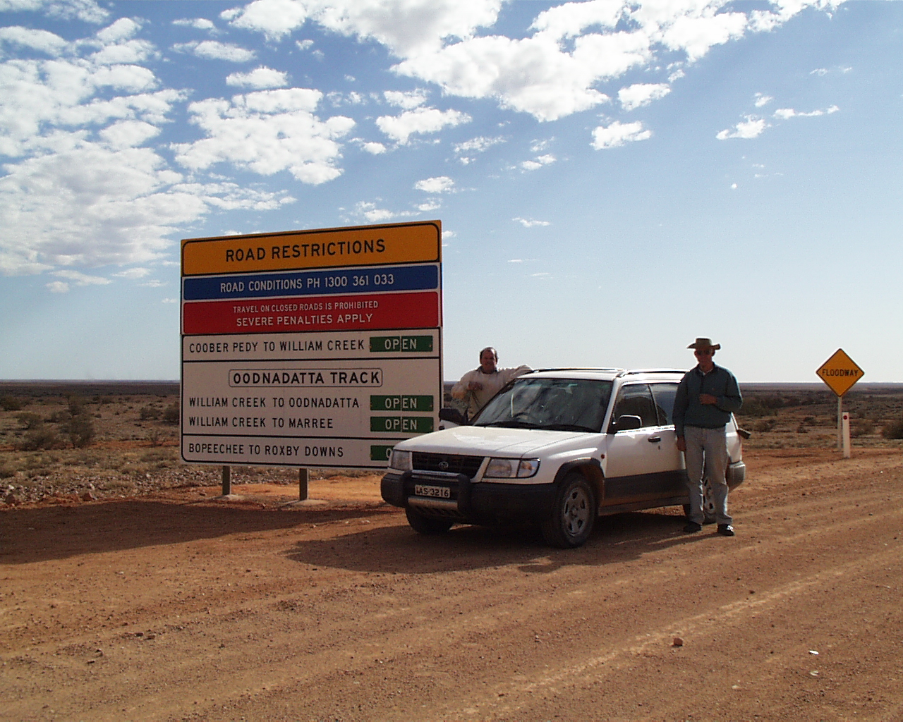
Dry conditions on the same road. William Creek was the drop off point from the original Ghan Railway.
A sole blower on the opal fields.
Geography and Mining Fields
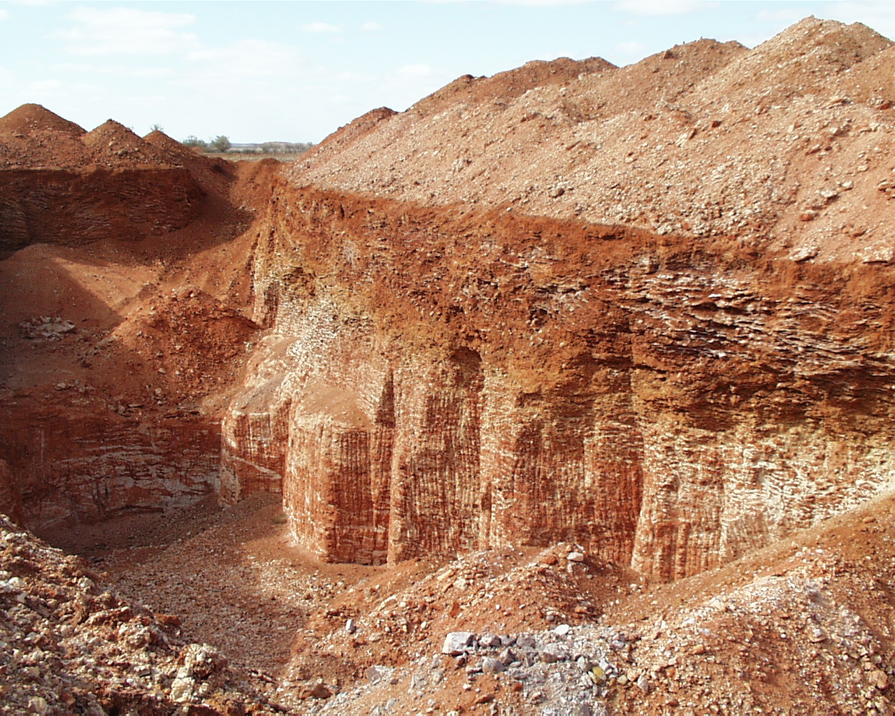
The mining field lanndscape on the Olympic field Coober Pedy.
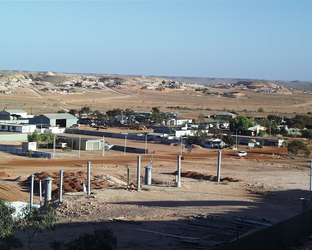
The township of Coober Pedy is situated on the edge of the Stuart Range in South Australia, 838 kilometres by road north of Adelaide. Development of Opal Mining
The early years of Coober Pedy’s opal fields are documented in Len Cram’s A Journey with Colour, Volume 3. Initially, miners and traders accessed the fields via the railway (now known as The Ghan), stopping at William Creek and traveling through Anna Creek Station. The completion of the Transcontinental Railway in 1917 shifted the main route through Kingoonya and then north to Coober Pedy.
.
Early Mining Methods
Early mining was rudimentary, with miners using simple tools like picks, shovels, pocketknives, and pliers. Selecting a mining location involved finding "floaters"—small pieces of opal near the surface—before carefully excavating the main vein.
Challenges such as limited water supply, the region’s remoteness, and fluctuating opal prices initially hampered the industry. However, the discovery of opal at Geraghty Hill (also called the "Eight-Mile Field") in 1946 marked a turning point. In 1921, the government installed an underground water tank, improving conditions for miners.
Like other Australian opal fields, Coober Pedy’s sub-fields were given various names over time. A summary of these can be found in Opal South Australian Gemstone Handbook No. 5 (1992), published by the South Australian Mines Department.
An early photo of Ernie Sherman mining at Coober Pedy. Sherman Archives. Ernie Sherman made the first opal-buying trip to Coober Pedy in 1919, a journey documented in the Sherman archives and A Journey with Colour (Page 25)
An early vista of dugouts at Coober Pedy. Sherman Archives.
Clients outside the Post Office in Coober Pedy. Sherman Archives.
a little geology
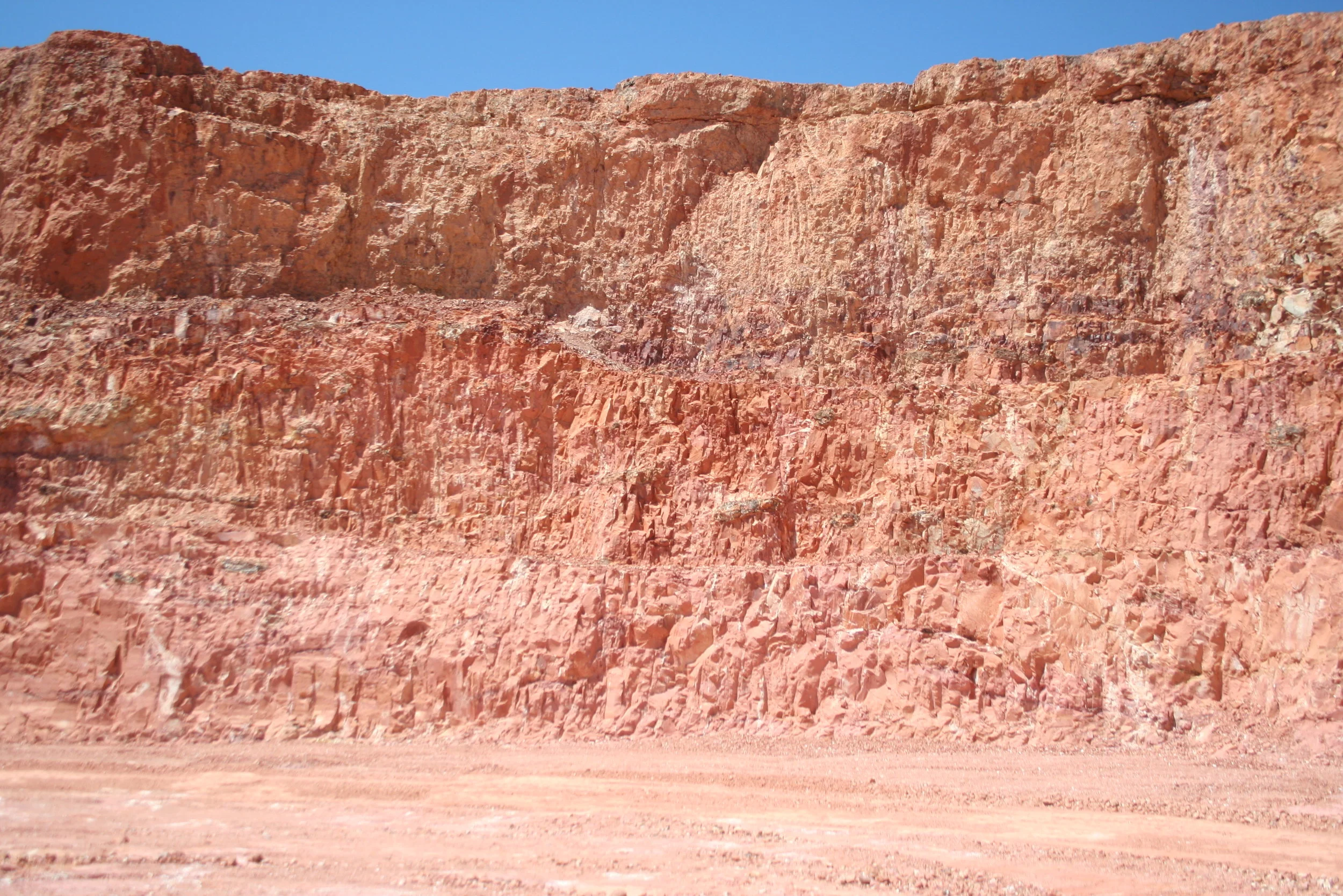
The Coober Pedy precious stones field is the most extensive area of opal fields in Australia. The opal-bearing strata in the Coober Pedy district consist mostly of sandstones that form the Stuart Range, an east-facing escarpment along the western margin of the Great Artesian Basin. Precious opal is found in the Bulldog Shale that is a part of the Marree Formation and is of Early Cretaceous age. The Bulldog Shale is subdivided into two groups – an intensely weathered and bleached claystone (often called sandstone by the miners) which is opal-bearing and unweathered to partly weathered claystone. The weathered zone is up to 50m in thickness and the base approximates the foot of the escarpment.
An enlarged area of the geology around the Coober Pedy Town Center
The weathered Bulldog Shale is present over most of the precious stones field although the stratigraphy varies. At the top of the profile, the claystone (i.e. the so-called miners sandstone), is porous and bleached white, with kaolinite the major clay mineral present. With increasing depth the colour gradually changes to mauve or grey-mauve. At the bottom of the profile is a grey to brown claystone that has a reduced porosity and which may be moist or plastic when first mined. This zone is often called ‘mud’ by the miners and the major clay mineral present is smectite or a type of swelling clay.
The opal level is associated with weathering differences between the two parts of the claystone, occurring between the weathered and unweathered sections of the profile. However, several ‘levels’ of opal formation have been described and related to groundwater fluctuations (Townsend pers. comm.). Within the profile are localised fault-like structures (called slides or slips by miners) and red-brown tubules (bioturbation) which result from burrowing termites. These structures may assist in the drying out of siliceous solutions into opal (Barnes et al. 1992; Robertson & Scott 1990).
There is some discussion (Townsend pers. comm.) as to whether the opal formation has been entirely controlled by an impermeable clay level at Coober Pedy because of its occurrence at several levels. In some of the individual fields, there is evidence of a ‘bentonite’ clay level. This may be compared with the Finch Clay Facies at Lightning Ridge NSW and similar strata in other fields.
A cross section of the opal fields in Coober Pedy
Part of the stratigraphy of the Coober Pedy opal fields.
The stippled areas on the map above are the areas of mining activity and the associated names of the individual opal fields as named. The Coober Pedy opal fields are extensive, and a map of the whole precious stones field (PSF) is available via the South Australian Department Mines, now named South Australian Department of Energy and Mines….. the map of Coober Pedy PSF can be accessed here:
types and varieties of opal
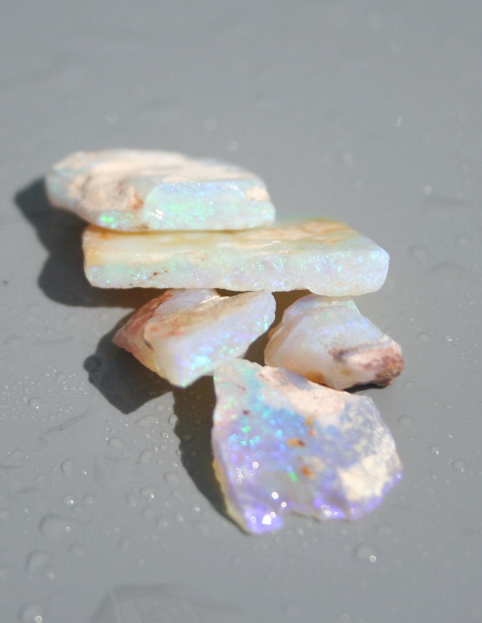
Most opal and precious opal “rough” found in the Coober Pedy Precious Stones Field is in the form of seam opal. Other forms of opal that occur relatively frequently are fossilised shells, and opal in “verticals” (named becaues they are vertical in the mines, sometimes might be called pipe opal. The seam opal occurs in levels between some of the sedimentary layers, the verticals may infill the red tubule burrows attributed to burrowing animals, and then replaced by opal. The opal is predominantly light or white opal, in all ranges of diaphaniety (transparency), with good crystal ( transparent) opal with some amounts of both dark grey and limited amounts of black opal.
Light-White Seam opal from 9 mile field.
Light-White seam opal from 14 mile field.
Light -white opal from the Olympic field.
Coober Pedy opal fossils
Coober Pedy Opal fossils
cut an polished coober pedy opal
A light opal and diamond pendant.
A oval vibrant multi coloured crystal opal in a dress ring..
mining techniques
As mentioned previously opal mining techniques have evolved over time form the early days of single miners using gouging picks and similar tools. Today more mechanised equipment is being used. As with other opal fields like Lightning Ridge there has been much more use of larger drilling rigs like the Calweld drill, and “blowers”. perhaps the difference at Coober Pedy is there is no use of puddlers, pudderling tanks or agitators. This has lead to the developement of “noodling machines” which take advantage of the natural flourescence response to Coober Pedy Precious Light opal
A calweld drilling rig. These drills make holes about 3ft in diameter.
A ‘Blower’ on the Coober Pedy fields north of town .
Loading opal dirt into a trommel and noodling machine courtesy of colleague Dale Price
A large established noodling machine with a bucket elvator, courtesy Dale Price.
Underground in Coober Pedy with bucket elevator used for extraction.
Mining drive excavated by a tunnelling machine
An open cut being backfilled and with a self unloading hoist
Modern opal mining with increasingly heavier equipment.
lifeon the opal fields in Coober pedy
Living on the opal fields in Coober Pedy can be harsh with daytime and nightime temparatures being some of the hottest due to the climate in Central Australia. This has meant that both miners and visiters have learned to adapt by living underground in dugouts.
Coober Pedy dugouts in preparation. The dugout on the right has been built complete with entrance.
Entrance to the dugout with interior photos below
Internal view of a dugout in Coober Pedy.
Interior of a dugout in Coober Pedy
A room in an underground church in Coober Pedy.
some selected reading
geological literature
Hiern, MN., (1965) Coober Pedy Opalfield. Department of Mines SA - Mining Review, No. 122.
Robertson, RS., and Scott, DC. (1990), Geology of the Coober Pedy Precious Stones Field, Results of Investigations 1981-1986.
Barnes. LC., Townsend, IJ., Robertson, RS., and Scott, DC. (1992), Opal South Australia GemstoneDepartment of Mines and Energy, Geological Survey of South Australia.
history
Berrington MD, (1958) Stones of Fire, A Womens experiences in search of Opal. Robertson and Mullins. Melbourne
Briand, Rena (1971) White Man in a hole, Phuong-Hoang, Melbourne.
Vin Wake, P (1969), Opal Men, AH and AW Reed, Sydney. National Library of Australia No. Aus 69-544.
Britt, Sue (2020), Opal Dreaming, A short History of Coober Pedy. Peacock Publications, Adelaide. on behalf of the Coober Pedy Historical Society National Library of AUstralia and ISBN-978-1-925-263-48-0
Harding, M (2016)Plenty of Opal back then: a History of Aboriginal engagement in The Northern South Australian Opal Industry c1940-1980. Doctoral Thesis University of Adelaide.
tourism and visiting coober pedy
Coober Pedy is a comfortable days drive from Port Augusta in South australia along the Stuart Highway. The Highway is the main tourist route from Adelaide to Alice SPrings (NT) and then on to Darwin. Accomodation is plentiful in udderground motels with modern clubs and facilities. Care needs to be taken when visiting the fields as there are restrictions to going out into the fields. Tours are available . Always remember that in the opal fields the opal mining claims are private property with legal restrictions.
Moon Rise over Coober Pedy town in the twilight.
The edge of the Stuart Range at the “Breakaways” reserve.
Sturts Desert Pea
View of a mesa on the breakaways road
The author at the “Dog Fence”, a fence designed to restrict the movement of dingoes.

